
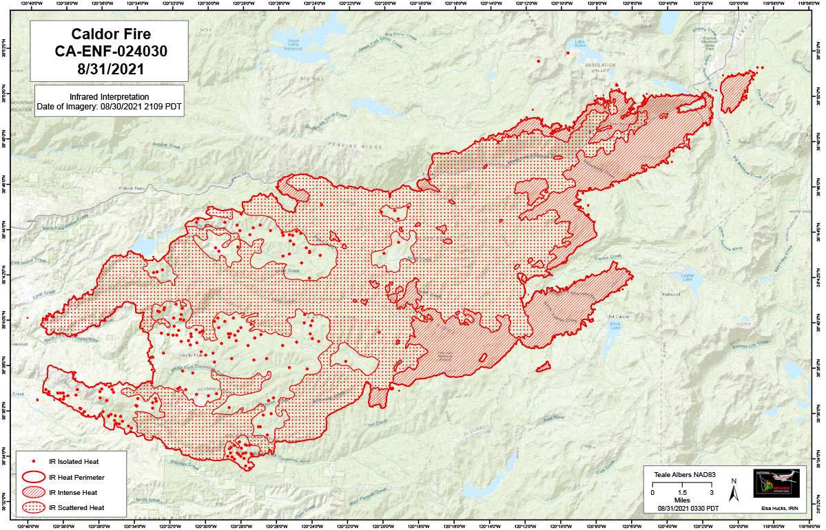
Flight Notes: Interpreted Acreage: -- a Growth of -- acres from last period.
Interpretation identified lots of intense heat and scattered heat across the fire area. There are minimal areas of isolated heat. North / Northeastern spotting detected. The heat source north of the fire from last evening persists and has increased in size, there is also a new one, approximately 1.5 west along the edge of South Grouse Lake. These two spots are identified on the map.
Note: Map is 1,200 pixels wide
Note: Click here for Wednesday's Infrared Map
California Caldor Fire Infrared Map for Wednesday, September 1, 2021
Click Here for: California Caldor Fire Tuesday, August 31, 2021 Updates