


September 17, 2021 - The National Weather Service Hanford Office reports the combination of dry fuels, low relative humidity values, and breezy winds can contribute to erratic fire behavior.
A fire weather watch has been issued for Saturday afternoon through Sunday evening for the Sierra Nevada and Tehachapi mountains. Any fires that develop will likely spread quickly.
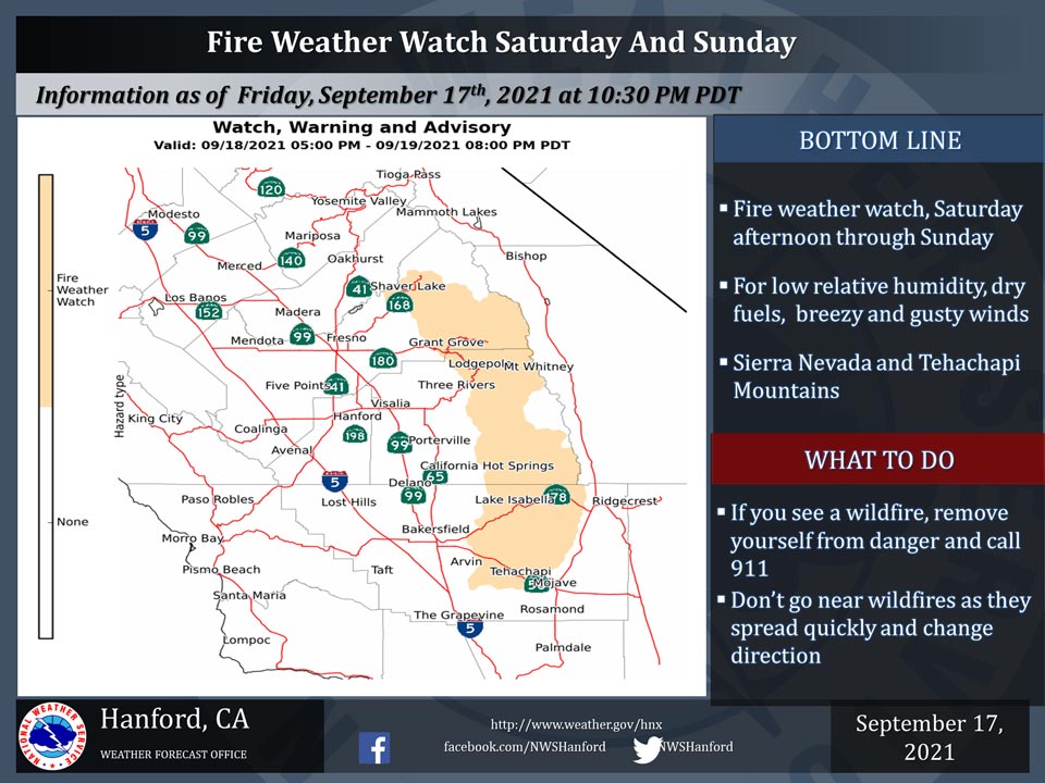
Fire Weather Watch
URGENT - FIRE WEATHER MESSAGE
National Weather Service Hanford CA
927 AM PDT Fri Sep 17 2021

.A low pressure system will bring gusty winds along with low
relative humidities to areas with already dry fuels Saturday
through Sunday increasing fire weather risks.

North Kings River-Sequoia Kings-Lake Isabella-Tehachapi Area-
927 AM PDT Fri Sep 17 2021

...FIRE WEATHER WATCH IN EFFECT FROM SATURDAY AFTERNOON THROUGH
SUNDAY EVENING FOR GUSTY WINDS, LOW RELATIVE HUMIDITIES, AND DRY
FUELS FOR FIRE WEATHER ZONES 593, 594, 595, AND 596...

The National Weather Service in Hanford has issued a Fire Weather
Watch, which is in effect from Saturday afternoon through Sunday
evening.

* AFFECTED AREA...Sierra Nevada from San Joaquin River southward
  through Tehachapi area.

* WIND...Northwest winds 25-35 mph with gusts up to 45 mph
  possible.

* HUMIDITY...Relative humidity will range from upper single digits
  to upper teens along with poor overnight recoveries.

* IMPACTS...The combination of parched fuels, gusty winds, and low
  humidities increases chances of rapid fire spread and dangerous
  fire behavior. Outdoor burning is not recommended.

PRECAUTIONARY/PREPAREDNESS ACTIONS...

A Fire Weather Watch means that critical fire weather conditions
are forecast to occur. Listen for later forecasts and possible
Red Flag Warnings.
Source: NWS

